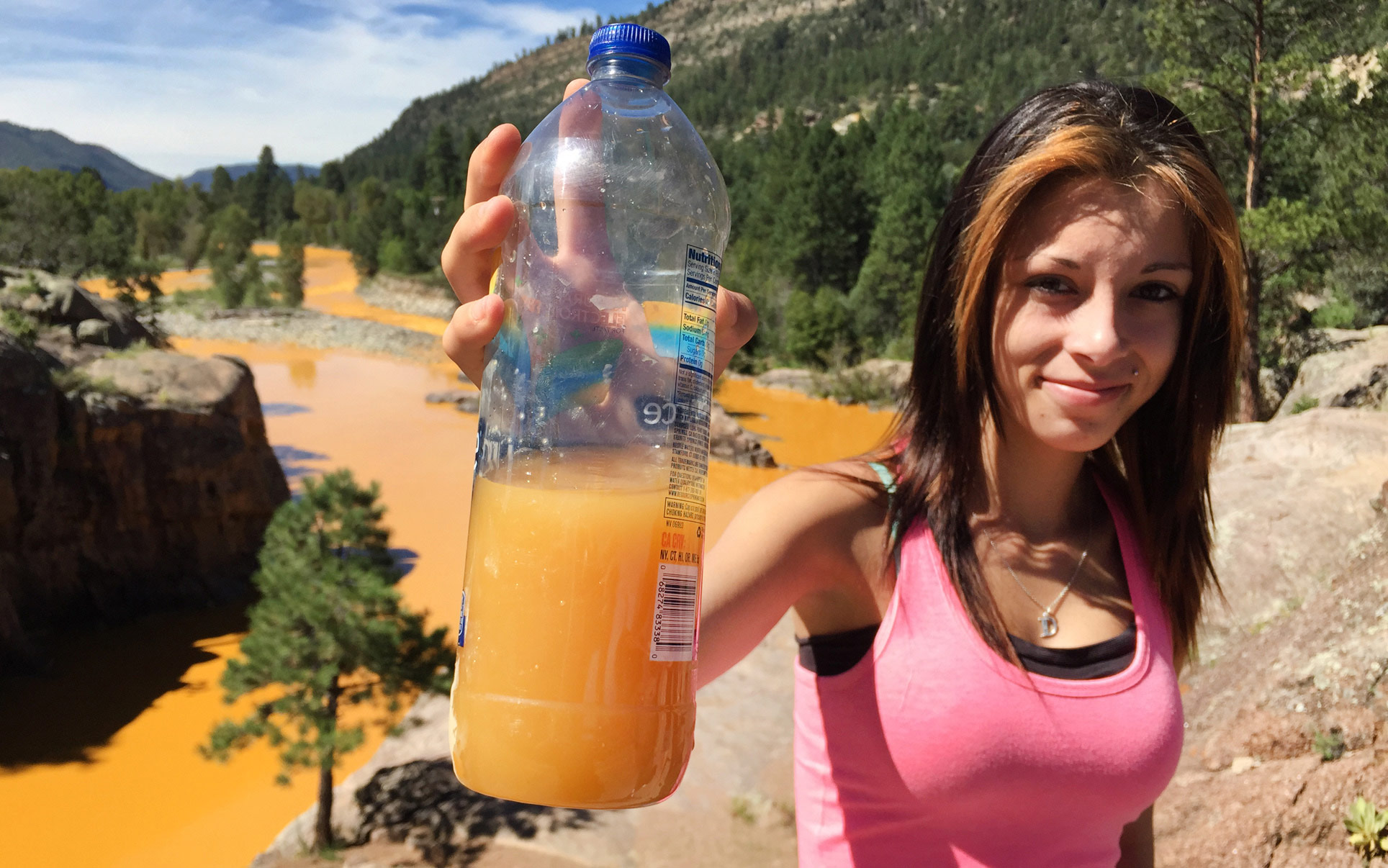
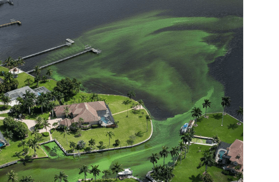
In an interesting twist of fate, USEPA caused a spill on the Animas River when a staffer accidently breached a dike holding back a solution of heavy metals at the Gold King mine because the misjudged the pressure behind the dike. Pressure? The spill flowed at 500 gpm (0.7 MGD), spilling yellow water spilled into the river. Downstream, the plume has travelled through parts of Colorado, New Mexico and Utah, and will ultimately hit Lake Mead. Officials, residents, and farmers are outraged. People were told not to drink the water because the yellow water carried at least 200 times more arsenic and 3,500 times more lead than is considered safe for drinking. The conspiracy theorists are out. The pictures are otherworldly.


But they are all missing the point, and the problem. This is one of hundreds of “legacy disasters” waiting to happen. We are just surprised when they actually do. A legacy disaster is one that is predicated on events that have happened in the past, that can impact the future. In some cases the far past. There are two big ones that linger over communities all over the west and the southeast – mines and coal. Now don’t get me wrong, we have used coal and needed metals form mines. That’s ok. But the problem is no one has dealt with the effects of mining or coal ash for many years. And then people are upset. Why? We can expect these issues to happen.
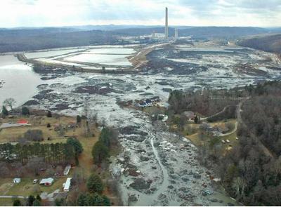
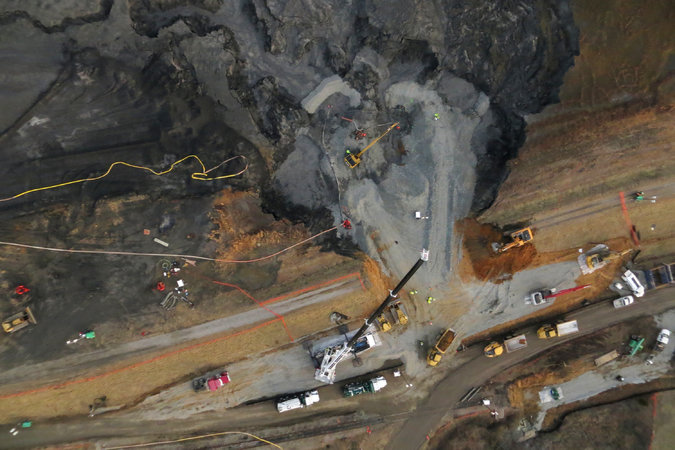
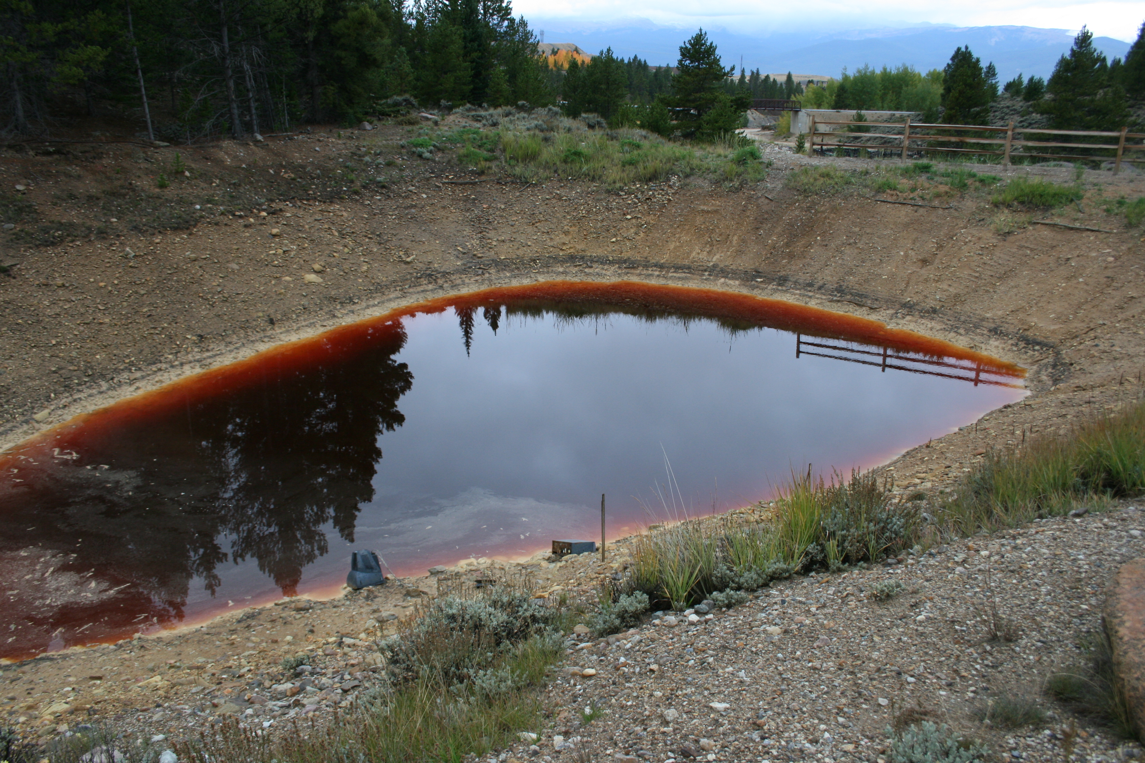
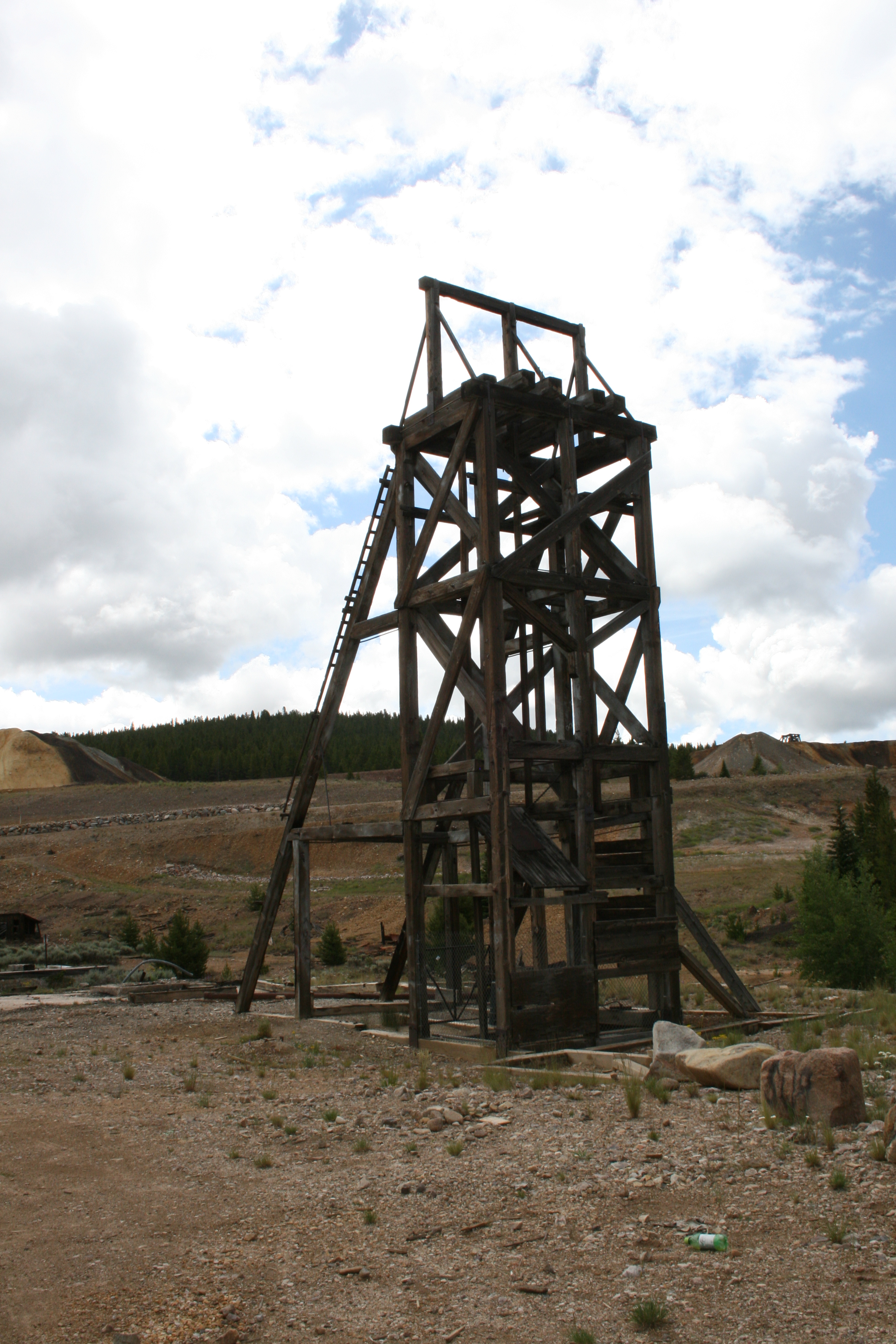
One major problem is that both are often located adjacent to or uphill from rivers. That’s a disaster waiting to happen. The King Gold mine is just the latest. We had recent coal ash spills in Kingston, Tennessee (TVA, 2008) and the Dan River in 2014 (Duke Power). The Dan River spill was 30-40,000 tons. Kingston cleanup has exceeded a billion dollars. Coal ash is still stored at both places. Next to rivers. We had the federal government build ion exchange facilities in Leadville, CO and Idaho Springs, CO to deal with leaking water from mine tailings from the mountains. Examples are in the hundreds. The photos are of the two coal spills, mine tailings that have been sitting the ground for 140 years in Leadville and one of the stormwater ponds – water is red in Leadville, not yellow.


When the disaster does occur, the federal government ends up fixing it, as opposed those responsible who are usually long gone or suddenly bankrupt, so it is no surprise that EPA and other regulatory folks are often very skeptical of mining operations, especially when large amounts of water are involved. We can predict that a problem will happen, so expensive measures are often required to treat the waste and minimize the potential for damage from spills. That costs money, but creates jobs.
For those long gone or bankrupt problems, Congress passed the Superfund legislation 40 years ago to provide cleanup funds. But Congress deleted funding for the program in the early 2000s because they did not want to continue taxing the business community (mines, power plants, etc.). So EPA uses ARRA funds from 2009. And funding is down from historical levels, which makes some businesses and local communities happy. The spectre of Superfund often impacts potential developers and buyers who are concerned about impacts to future residents. We all remember Love Canals and Erin Brockovich. Lack of development is “bad.” They ignore the thousands or jobs and $31 billion in annual economic activity that cleanup creates, but it all about perception.
But squabbling about Superfund ignores the problem. We continue to stockpile coal ash near rivers and have legacy mine problems. Instead we should be asking different questions:
WHY are these sites permitted to store ash, tailings, and liquids near water bodies in the first place? EPA would not be inspecting them if the wastes were not there.
WHY aren’t the current operators of these mines and power plants required to treat and remove the wastes immediately like wastewater operators do? You cannot have millions of gallons of water, or tons of coal ash appear overnight on a site, which means these potential disasters are allowed to fester for long periods of time. Coal ash is years. Mine tailings… well, sometimes hundreds of years.
One resident on the news was reported to have said “Something should be done, something should be done to those who are responsible!” Let’s start with not storing materials on site, next to rivers. Let’s get the waste off site immediately and disposed of in a safe manner. Let’s recover the metals. Let’s start with Gold King mine. Or Duke Power. Or TVA.


 I have a question – what was the impact of the 2008 economic crisis on water and sewer infrastructure funding? I have a hypothesis – the amount of monies transferred to non-water and sewer operations increased. Is the hypothesis true?
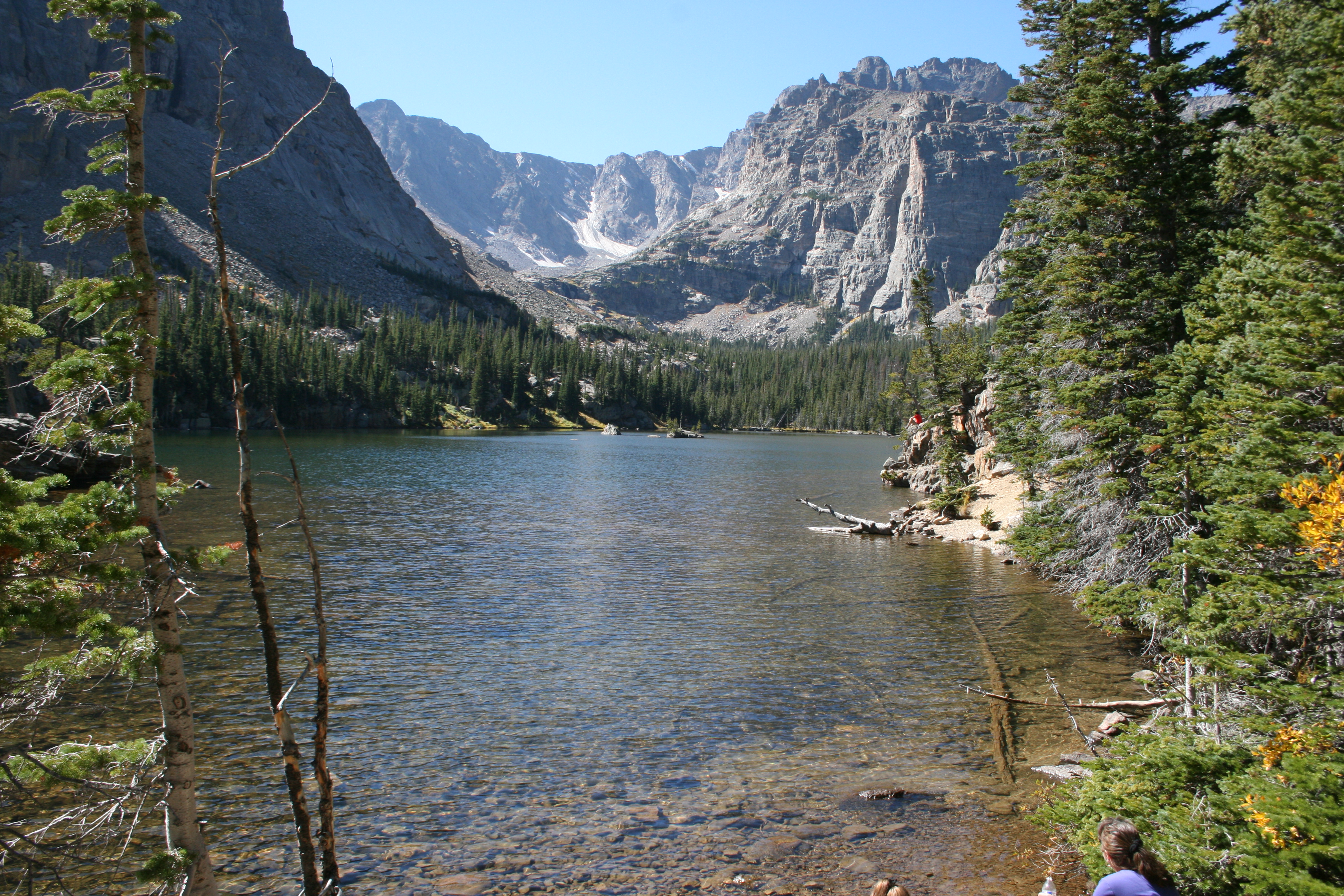
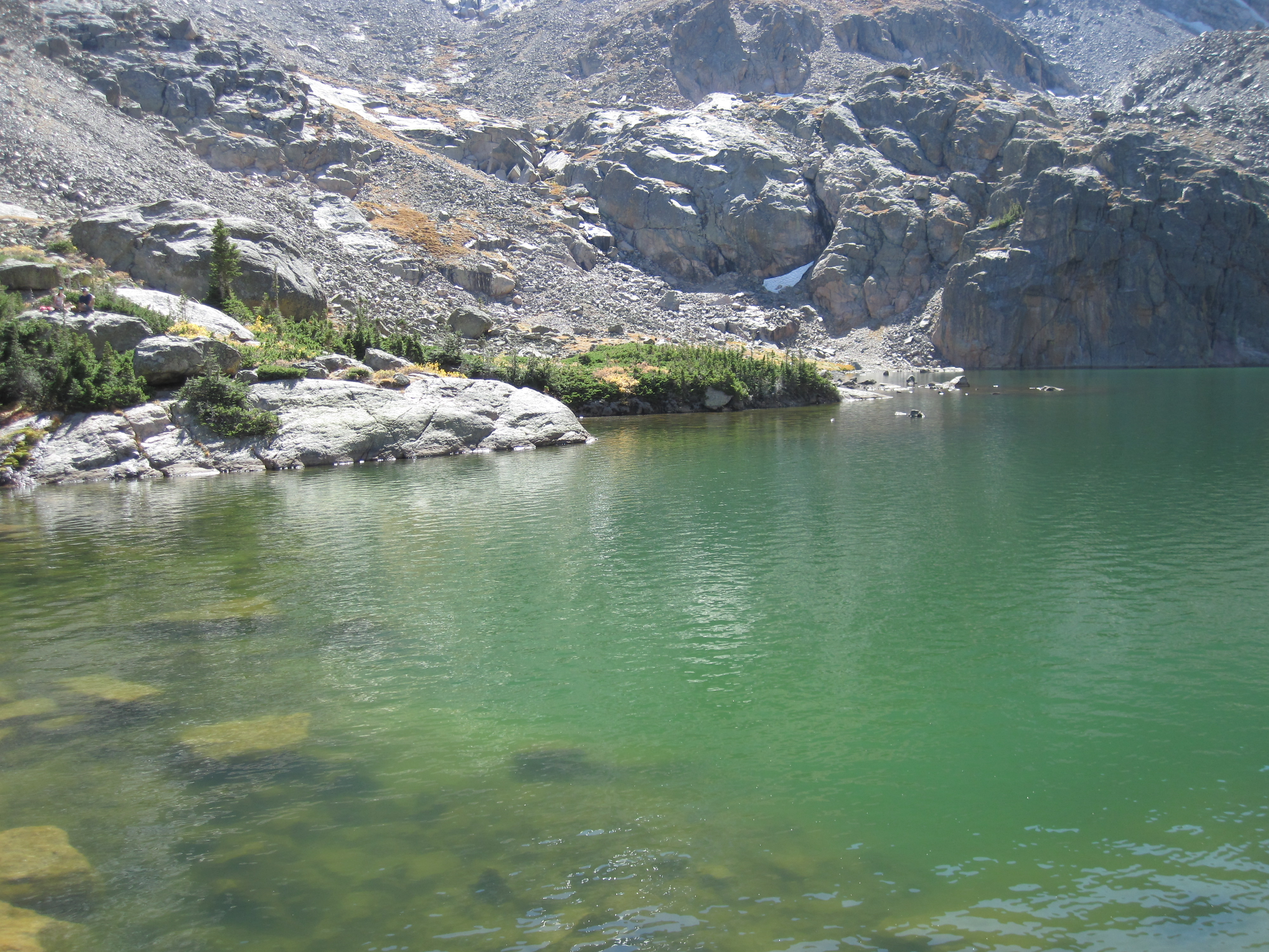
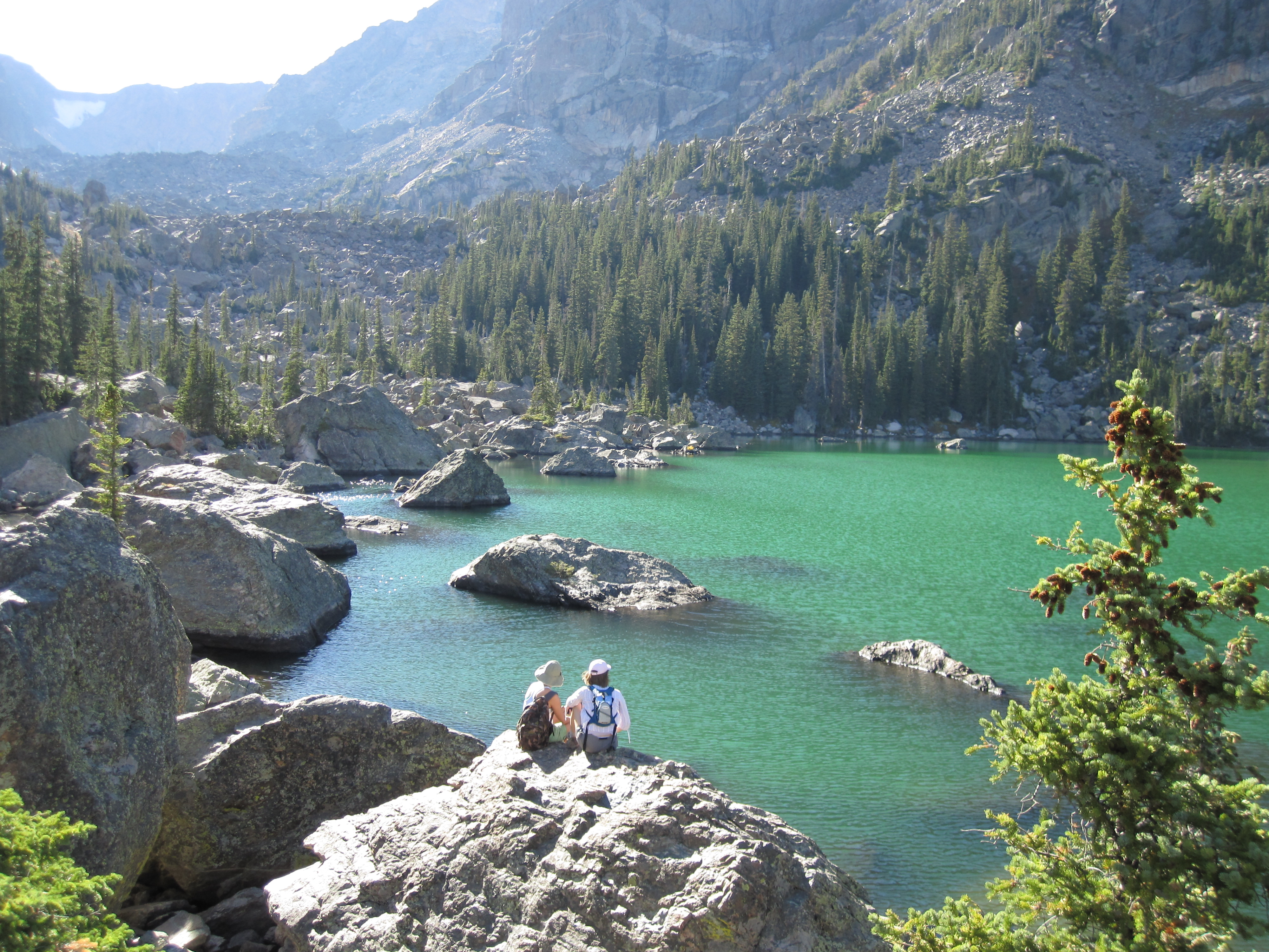
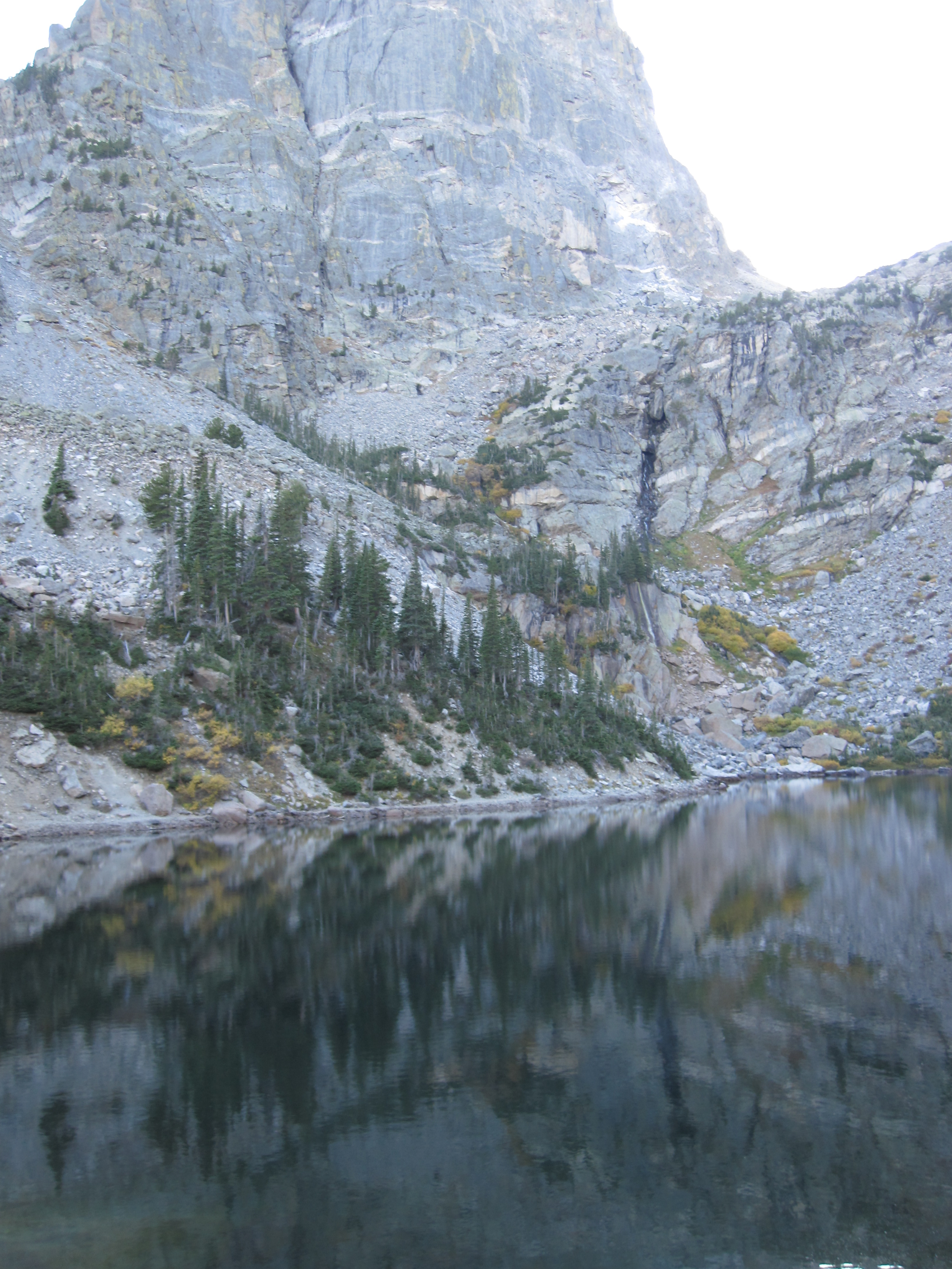
 A week or so ago, on a Sunday afternoon, I flew across Middle America to Colorado for a meeting and was again struck by the crop circles that dominate the landscape west of the Mississippi River. They are everywhere and are a clear sign of unsustainable groundwater use. I recently participated in a fly in event for National Groundwater Association in Washington DC, where several speakers, including myself, talked about dwindling groundwater levels and the impact of agriculture, power and economies. The impact is significant. Dr. Leonard Konikow, a recently retired USGS scientist, noted that he thinks a portion of sea level rise is caused by groundwater running off agriculture and from utilities and making its way to the ocean. He indicated that 5% of SLR each year was caused by groundwater runoff, and has upped his estimates in the past 10 years to 13%. This is because it is far easier for water to runoff the land than seep into rocks, especially deep formations that may take many years to reach the aquifer. And since ET can reach 4 ft below the surface, many of the western, dry, hot areas lose most of this water during the summer months. Hence the impact to agriculture, and the accompanying local communities and their economies will be significant.